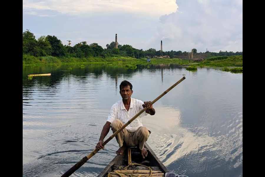
In April, a group of us — geographers, professors, research scholars, citizen environmentalists and I — travelled to five chars, or riverine islands, across Bengal. It took us one whole week. The purpose of the trip was to look for indigenous knowledge to combat climate change and its effects.
Mehebub Sahana, who is a geographer at the UK’s Manchester University, was the leader of the pack. He says, “The Bengal Delta is in a constant state of transformation due to both natural and anthropogenic factors. Among the most affected are the chars — temporary, fragile and many of them disappearing with the shifting currents — and also, those who have made their home here.”
Communities that inhabit chars have a transitional existence — forever poised between the certainty of home and the uncertainty of displacement. Sometimes they fight among themselves to get hold of a piece of char land, but more often than not, they stick together as a community to deal with all crises. “Their wisdom enables them to survive environmental challenges,” says Sahana.“This wisdom can also guide policymakers to plan interventions more accurately,” he adds.
Here are the char stories.
Char 1: Shambhunagar Char on River Jalangi, 5 kilometres from Krishnanagar in Nadia
The old red brick-and-mortar structure peeped out of the orchard. The locals refer to it as “Kalibabur bari” after its owner Kali Agarwal, who once owned a sugar mill. The neighbourhood is known as “mill para”. And why not? The loamy soil here once ensured a plentiful sugarcane harvest.
Rambali Gaur, 85, tells us how his ancestors landed here 200 years ago, from Jaunpur, a small town in the then United Provinces. “It was Gobardhan Agarwal, Kalibabu’s grandfather, who organised a steady flow of sugarcane planters and mill workers from there. The sugar produced here would travel to Calcutta, Dhaka and beyond, on cargo boats borne on the Jalangi,” says Gaur. “I have only heard about those golden days. By the time I was born, sugarcane farming was abandoned after a massive crop epidemic,” he adds.
In the mid-19th century, this char had been a hotspot of indigo plantation. Gaur points to the remains of a neel kuthi or indigo depot.
However, all that changed. According to the elder, the pattern of agriculture on the char has changed drastically in the past decades. Farmers today cultivate paddy, corn and vegetables, instead of sugarcane, jute and indigo. No matter that these crops require more water, more chemical fertilisers.
The char gradually moved and merged with the riverbank, possibly owing to a massive earthquake in 1787. The river also shifted its course, dried up. Fisherfolk like Subal Halder were the hardest hit. Many of the traditional varieties of fish disappeared, mostly because of poor water quality, courtesy overuse of chemical fertilisers by farmers.
Halder was forced to forsake a generational calling and turn fish vendor. In his new avatar, he also fights for the fish. Of late, he has been urging fisherfolk to refrain from using Chinese nets. “Use of traditional nets can revive olden fish varieties,” he says.
“When there was enough water, my ancestors could predict the presence of fish by looking at the colour of the water. They’d never use any kind of net that was harmful for fish, especially spawn,” he adds.
Char 2: Chargheri on River Garal, in the Satjelia island of the Sundarbans
Between the late 18th and early 19th centuries, vast portions of the mangrove forests were cleared under colonial land settlement policies, and agrarian communities settled here.
However, its deltaic landscape and proximity to the Bay of Bengal make the area vulnerable to tidal floods, soil salinity, frequent strikes of tropical cyclones, coastal erosion and rising sea levels. In addition, there is the perennial threat that comes from sharing space with Royal Bengal tigers, crocodiles and venomous snakes. All of these force young people to migrate for a better life, if not better living.
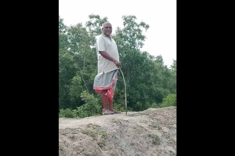
“But those who stayed back have demonstrated a unique resilience aided by indigenous knowledge of the elders,” says Umashankar Mandal, a geographer who runs a non-profit group on the island called Purbasha Eco Helpline Society.
Mandal’s father, Dhirendra, 77, had foreseen the importance of mangrove plantation in the char. From his youth, he had mastered the technique of growing mangrove plants. He then trained his sons to collect mangrove seeds and grow them beside a large embankment near River Garal in Chargheri.
Mandal has now trained several village women and raised what is known as the Mangrove Army across Satjelia Island. Between 2009 and 2023, the volunteers planted around 8 lakh saplings.
The mangrove forest defended the village when Cyclone Dana hit the island in October 2024. Says Mandal, “Mangroves prevent land erosion by aiding sediment deposits. They act like ‘green barriers’, warding off saline water intrusion into the farmland.”
But, he warns, mangrove plantation must be done after careful planning with local communities. “Planting mangroves in areas where they weren’t originally present can disrupt existing ecosystems and harm other local species.”
Char 3: Anupnagar on River Ganges, in Malda district
We boarded the ferry from Dhuliyan, a small town in Murshidabad district, to reach Anupnagar. The boatman hummed a Bhatiyali song “Amar ekta nodi chhelo/Nodir jal chhelo na…”
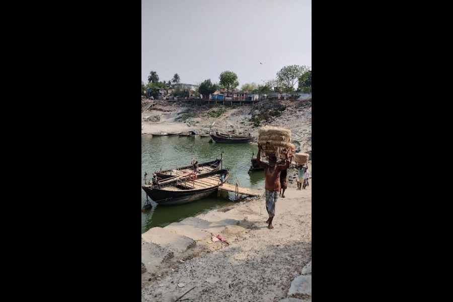
“Unlike other chars where flooding is the main worry, for residents here, riverbank erosion is the most pressing concern,” says Kalinath Sarkar. “Large-scale erosion eats up lands, rendering people homeless and farmers landless. As a result, people migrate in hordes from this region,” adds the 85-year-old former teacher.
There is a name for such people — climate refugees.
A majority of people migrated here, first from East Bengal, and later, Bangladesh. On the day of our visit, they sit down under a mango tree and recall those early days. Bahadur Chaudhuri, 70, is a boatman. He says, “The river was full of Gangetic dolphins.” Char lore has it that those spots where these dolphins are found swimming, abound in fish and are also safe for boats.
Most of the residents blame the Farakka Barrage, built five decades ago 19 kilometres upstream of Anupnagar, for all the devastating erosion. They seem angry with the local administration’s knee-jerk reactions to their persisting problems. Construction of concrete embankments where they have no business being, dumping sandbags, boulders and bamboo structures to no effect and so on.
The elders say they can read patterns on sediments, they can tell which is the exact spot where a char will appear, well in advance. “Such knowledge can be used by the authorities for risk zone mapping,” says Sahana.
Char 4: Chars on River Atrai in South Dinajpur district
Mrinal Chakraborty, who is a former teacher and local historian, says, “In ancient times, the river was called Atreyee. It is one of the three distributaries of the Teesta.”
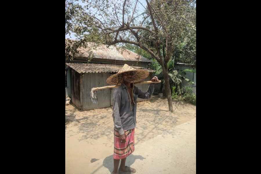
Till about 50 years ago, farmers cultivated traditional paddy, mesta jute and vegetables using indigenous farming techniques. The fisherfolk had abundant hauls of local fish, according to Jhontu Haldar, who was born into a family of fisherfolk but is himself a schoolteacher. Now, local varieties of paddy and fish have disappeared.
Both Chakraborty and Haldar say the natural flow of the river was severely affected after Bangladesh erected a rubber dam at Mohanpur in 2013. It altered the natural flow of water, harming aquatic life and the river ecosystem.
Last year, Bengal’s irrigation department built a concrete dam in Balurghat to ensure there’s adequate water on the Indian side. Within 13 months, parts of the dam collapsed. It was poorly constructed.
“Both dams have ruined the dynamics of the river and the chars,” says Tuhin Subhra Mondal, who has been leading the “Save Atrai” campaign since 2006.
Char 5: Nijtaraf Char on River Teesta in Jalpaiguri district
As we crossed bouldered embankments, creeks, dried beds of rivulets and makeshift bamboo bridges, I was reminded of the character of Suhas in Teestaparer Brittanto by Debes Roy. Suhas, who was a political activist, had arrived on the banks of the Teesta as a settlement officer for Operation Barga that had been initiated by the Left Front government in Bengal in 1978.
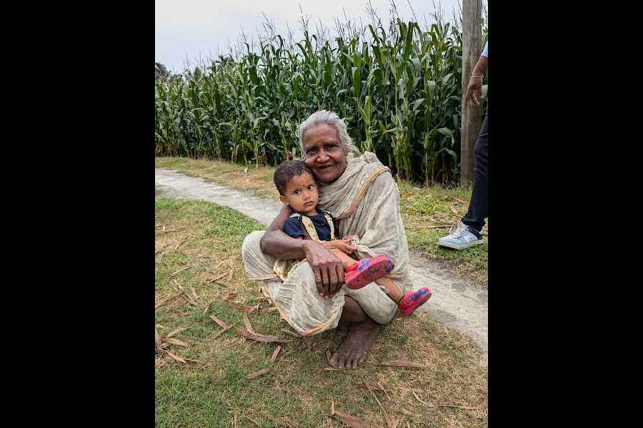
At Nijtaraf Char, we are told that in thelast five years, the river has “eaten up” around 500 bighas (300 acres) of land. That may bebut as we step into the village of Nandanpur in the middle of Boalmari, right before us is a bountiful harvest of corn, watermelon and paddy. The villagers, who have been told of our visit, have congregated at one spot for a discussion.
The oldest of the lot, Nepal Sarkar, 90, reminisces about the time he arrived from Dhaka after Partition. He remembers the char in terms of river health and bumper paddy harvests. Jiten Biswas, 55, is the panchayat pradhan. He says, “The river flooded our homesteads and farmlands, but then it gifted us with rich alluvial soil.”
Sarkar tells us how they predict big floods — from the way the ants move. One sure sign is ants climbing trees, eggs et al.
The villagers seem to have no expectations from the government. In the 78 years since Independence, no government has thought of providing them with healthcare services or educational opportunities.

