 |
Call it a marriage of modern technology with a lingering Himalayan legend. But for Tapan Pandit — an intrepid mountain lover who has Googled his way to the roof of a dead glacier only to find the missing links between Kedarnath and Badrinath — it all started at an uneventful slide show one April morning.
Like many who have ventured into the depths of the Himalayas, Pandit, a school teacher from Amtala on the southern fringe of Calcutta, heard of the legend for the first time in the late eighties: that there was a time when a single priest tolled the bells at both shrines on the same day. No one knew how this was possible, for the two Hindu holy spots are 38 km apart, as the crow flies. A pilgrim would need to travel 10-12 hours by road and then trek for a day to reach Kedarnath from Badrinath.
But the legend, in the words of British mountaineer Martin Moran, has been one of “the few remaining myths” of the high Himalayas, which drew the likes of ace climber Eric Shipton to the region over seven decades ago. But finding the “mythological” route from Kedarnath to Badrinath — in the hills of Uttaranchal — was far from easy. Shipton and his associate Bill Tilman could not make it across a heavily glaciated 18,000-foot pass, finally losing their way in a thick bamboo forest on the far side of the crevasse-pocked Panpatia glacier, a key obstacle to locating the “short-cut” from one shrine to the other.
Ever since Shipton’s failed attempt in 1934, both Indian and other mountaineers — drawn by the legend that has refused to die out — have tried time and again to find the route, but without success.
Finally, a group of mostly untrained trekkers from Bengal, led by Tapan Pandit, has now done what the likes of Shipton and Harish Kapadia, the Mumbai-based mountaineer who tried to look for the elusive route in 1997, could not do all these years. The Bengal group says it has found a new route that connects a settlement near Badrinath to Madhya Maheshwar, a small village housing a Shiva temple on the way to Kedarnath.
 |
 |
 |
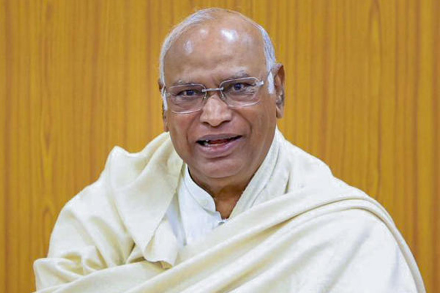
| MISSING LINK: (from top) the Badrinath temple; Tapan Pandit; the Kedarnath temple; |
What is remarkable is that the new route skirts around the gaping, lethally unpredictable Panpatia icefalls, which prompted most mountaineers, including Shipton and Kapadia, to give up their search. “It’s not only a new route but also an easy one, a route trekkers can take as there is little technical climbing to do,” says the 53-year-old Pandit, who hasn’t received any mountaineering training. Clearly, he says there is a “grain of truth” in the legend about the priests. “We can now definitely say that there is a passable route between the two shrines,” Pandit notes.
But this is only half the story. Pandit stresses that the real hero of the exploration is not he, nor any other team member, but the IT giant Google, which showed him the way. And he will never forget the slide show he attended at the Ichhapore Ordnance Factory auditorium one April weekend.
It was there that a fellow mountain lover suggested that he try Google Earth, the software Google provides for a peek at any corner of the globe.
“I was then running around like a headless chicken trying to spot an alternative route on various maps,” the biology teacher recalls. A technophobe, he took the help of his nephew as he sat down before the youth’s computer. And there it was — Google Earth showed a ribbon of a route up a gulley and across a ridge away from the icefalls. “I couldn’t believe my eyes,” Pandit says.
The ribbon picked up by Google Earth is actually a dead glacier, as the team members found on June 9 while trudging through it. It is a little more than a kilometre long and 400-600 metres wide.
This is the all-important “connector” that provided the missing link between Kedarnath and Badrinath and the trekkers named it Parvati gully after the Parvati peak towering over it. The gully led to a snowfield that the trekkers traversed on their way to Madhya Maheshwar.
With five members and eight porters, the 13-member team from Amtala Anvesan, Pandit’s club, reached Madhya Maheswar on June 13, exactly 13 days after they started from Joshimath, a bustling town near Badrinath.
“I was never sca- red except when we were crossing the narrow Parvati ridge where you could barely place a foot and couldn't even fix a rope,” says Usha Pandit, Tapan’s 44-year-old wife, who used a tree branch for an ice axe. The fact that the untrained, frail housewife made it through shows that “other trekkers can take the route as well,” says Debabrata Mukherjee, a 43-year-old mountaineer roped in to lead the team in the mountains.
Mukherjee, however, finds it surprising that nobody had noticed the route before. “But then, they did not have the advantage of Google Earth,” the seasoned climber, who has participated in 23 expeditions, says.
With Pandit sending a detailed report and photographs to the New Delhi-based Indian Mountaineering Foundation (IMF) for recognition of the route, the climbing fraternity has begun to take note.
“It’s a superb route and is certainly a big achievement for the trekkers from Bengal who have opened it,” says Harish Kapadia, editor of the Himalayan Journal.
Others agree. “It’s a dream come true for me,” says Prabhat Kumar Ganguli, former secretary of The Himalayan Club in Calcutta. He tried twice — in 1982 and 1985 — to get across the Panpatia glacier but in vain. “I always believed there is a route and tried to show the way. They have finished what I set out to do,” the 66-year-old former climber says.
To be sure, the route has been found from Kedarnath to Badrinath, but can it be covered in one day as the priests of yore were said to have done? Pandit is not so sure. But he will check with Google.


