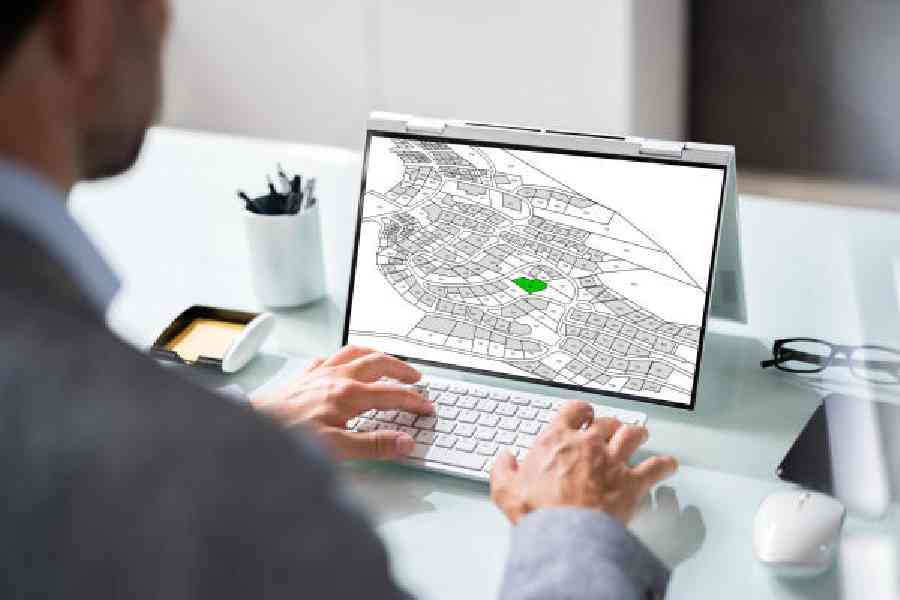
What’s your live location? How far is the food delivery person? Is there a cab nearby? Answers to these questions are embedded in geographic information systems (GIS), a computer-based system for capturing, storing, checking and displaying data related to positions on the earth’s surface. A related field is called remote sensing. It is the process of acquiring information about the earth’s surface from a distance, typically using satellites or aircraft.
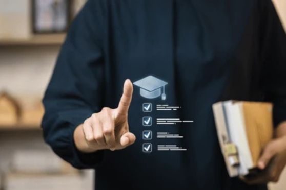
This relatively new domain of expertise offers an array of opportunities across industries.
Kumar Gaurav, who is a geology graduate, has been pursuing a career in geospatial technology. He says, “My expertise lies in utilising satellite data and GIS tools to help the government make data driven decisions, such as how to improve urban planning and environmental conservation or measure land use for agriculture and other purposes.”
Mandar S. Malandkar is a geologist who has also studied geospatial science. He combines real-world data with theoretical ideas to solve critical problems in civil engineering. He says “Accurate mapping, monitoring and modelling of the earth’s surface features are highly useful for terrain inspection and natural resource exploration.”
Then there is Bharti Sharma, a young entrepreneur from Delhi who is working in Ladakh. She is trying to bridge the gap between scientific understanding
and everyday problems alongside preserving the geological heritage of the area through community outreach programmes.
Her start-up, AADYA — Planetary and Geoscience Research, translates remote sensing data into accessible research and valuable information for public use. She says, “Our overarching mission is to connect people with the earth and planetary science data.”
Sanchari Ghosh has completed her postgraduate diploma in applied geoinformatics from Jadavpur University in Calcutta and was recruited by a GIS company. In her current job, she has learnt to work with images captured by drones and has mapped road features based on them. She says, “I want to get a good grip on the technique by learning new programming languages such as Python. Eventually, I would like to pursue a PhD in remote sensing and GIS.”
Sanjay Yadav, who has completed his BTech in geosciences engineering, wants to apply geospatial science to address geological hazards and climate challenges for sustainability. He has joined S&P Global Market Intelligence as a GIS analyst — he applies geospatial analysis to generate business related data. He says, “GIS and remote sensing have changed the way I look at the earth. From reading rocks in the field to reading data on earth through satellite imagery, my journey leads to finding solutions for better urban planning, sustainable development, disaster management and so on.”
There is no doubt that this growing career domain has high demand, diverse applications, remote work options and enough opportunities to impact real-world issues. But don’t forget that it is one steep learning curve and continuous upskilling
is a must.
Last updated on 06 May 2025